
Know Hub Chile takes part in the launch of Geoportal, a platform for integrating satellite data into public administration

Know Hub News
· Santiago

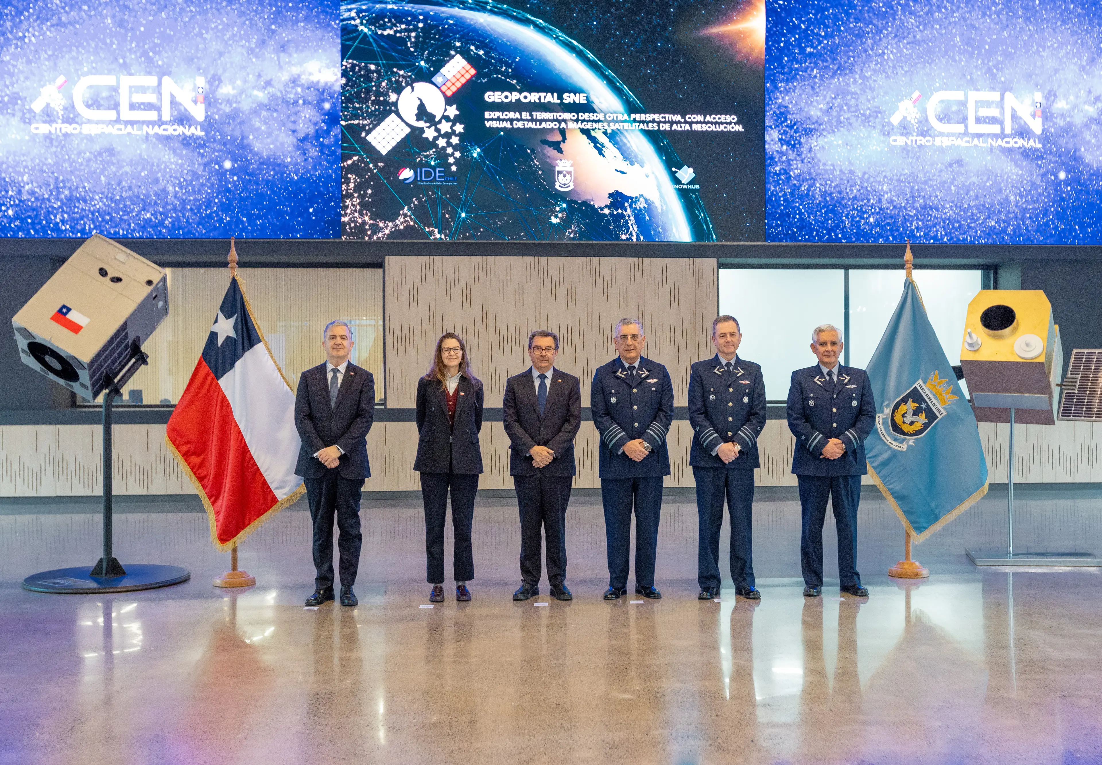
The National Space System has launched Geoportal, a tool managed by the National Space Center of the Chilean Air Force to expand the use of territorial information in municipalities and government agencies.
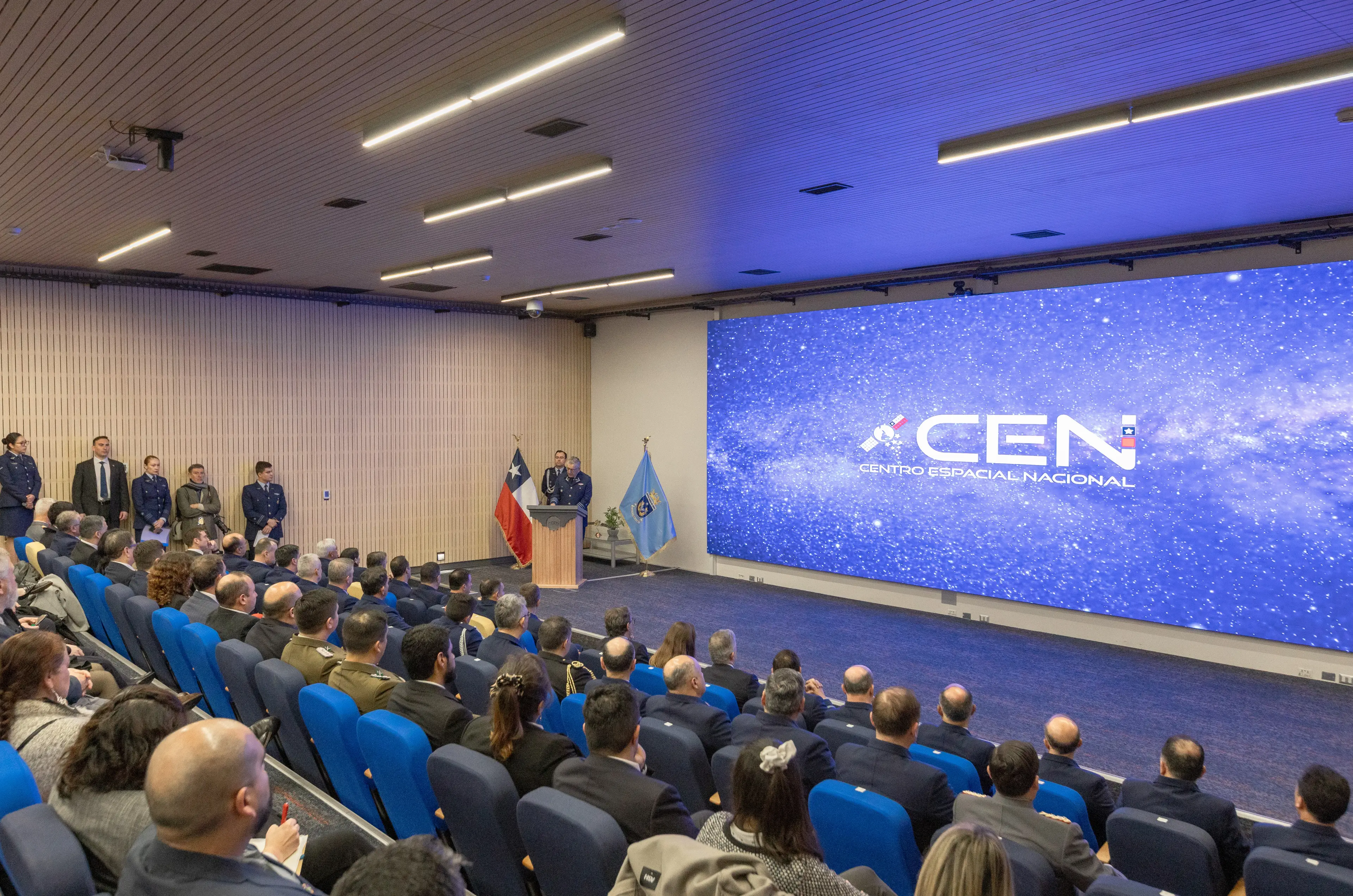
On October 7 at the National Space Center (CEN), the Chilean Air Force presented Geoportal, a platform of the National Space System. This digital infrastructure centralizes satellite imagery alongside territorial information layers developed as part of the National Space Program. The initiative aims to make this material available to public institutions and local governments that need precise information to make decisions.
During the launch ceremony, Commander-in-Chief of the Chilean Air Force General Hugo Rodríguez highlighted the strategic importance of this operational infrastructure. “The central purpose of developing space capabilities is to support defense tasks and directly advance the country’s development priorities,” the institutional leader said.
The operations center, inaugurated at Cerrillos Air Base, houses operational control rooms and laboratories for processing Earth observation data. At this facility, the institution’s Space Directorate coordinates the receipt of data from the national constellation.
The Geoportal rollout includes a strategy developed by CENl to profile user institutions and identify operational needs across the country, helping municipalities that have historically had less access to satellite data adopt digital tools.
CENl Director Air Brigadier General Christian Stuardo discussed the platform’s impact on public administration: “Making imagery and geospatial information available through a single system enables different government agencies to plan actions across the territory and respond promptly to emergencies.”
Know Hub Chile Executive Director Javier Ramírez highlighted the value the tool brings to the business community and public sector. “Geoportal is a tool now available to the entire ecosystem and the country as a whole, both public and private. It enables us to use geospatial data to do what we need to do, improve our businesses, and provide public goods,” he said.
Along the same lines, Ramírez emphasized the operational transformation enabled by open access to satellite information: “For public institutions, the most important thing about Geoportal is that it is a tool that allows us to use space as a new strategic capability for the country.”
As part of the Geoportal launch, Know Hub Chile took part in the panel discussion “Use of Geospatial Information at the National Level,” with Know Hub Chile Executive Director Javier Ramírez serving as moderator. The discussion featured a distinguished group of panelists from the public, academic, and technical sectors: Air Brigadier General Christian Stuardo, Space Director of the Chilean Air Force; Jonathan Hodge, Director of the Center for Earth and Space at Universidad Adolfo Ibáñez; Roberto Luna, General Manager of the Interdisciplinary Center for Productivity and Sustainable Construction; and Jorge Vásquez, Executive Secretary of the National System for the Coordination of Territorial Information (SNIT – IDE Chile).